SGT
Trails that combine nature, history and community in Gerrei
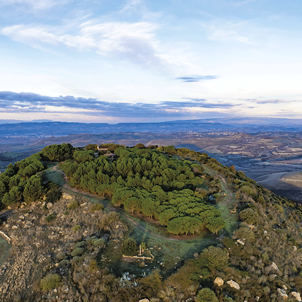
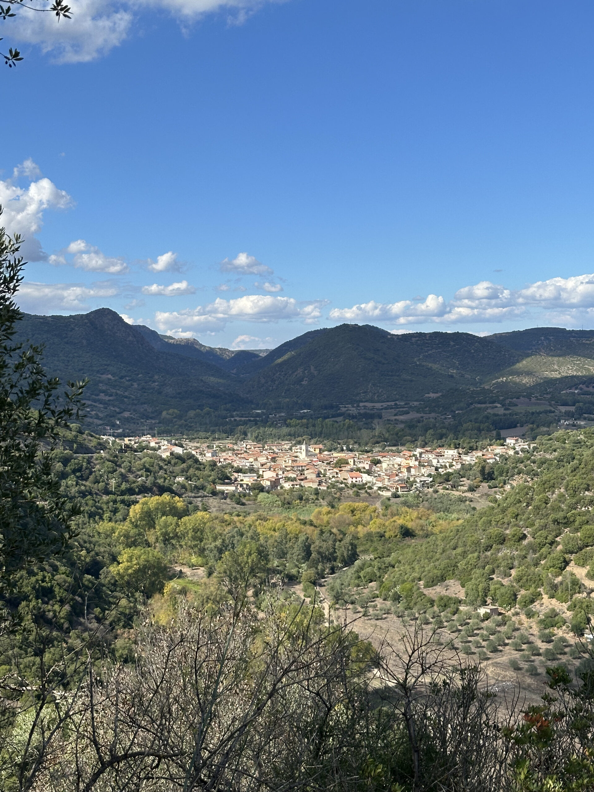
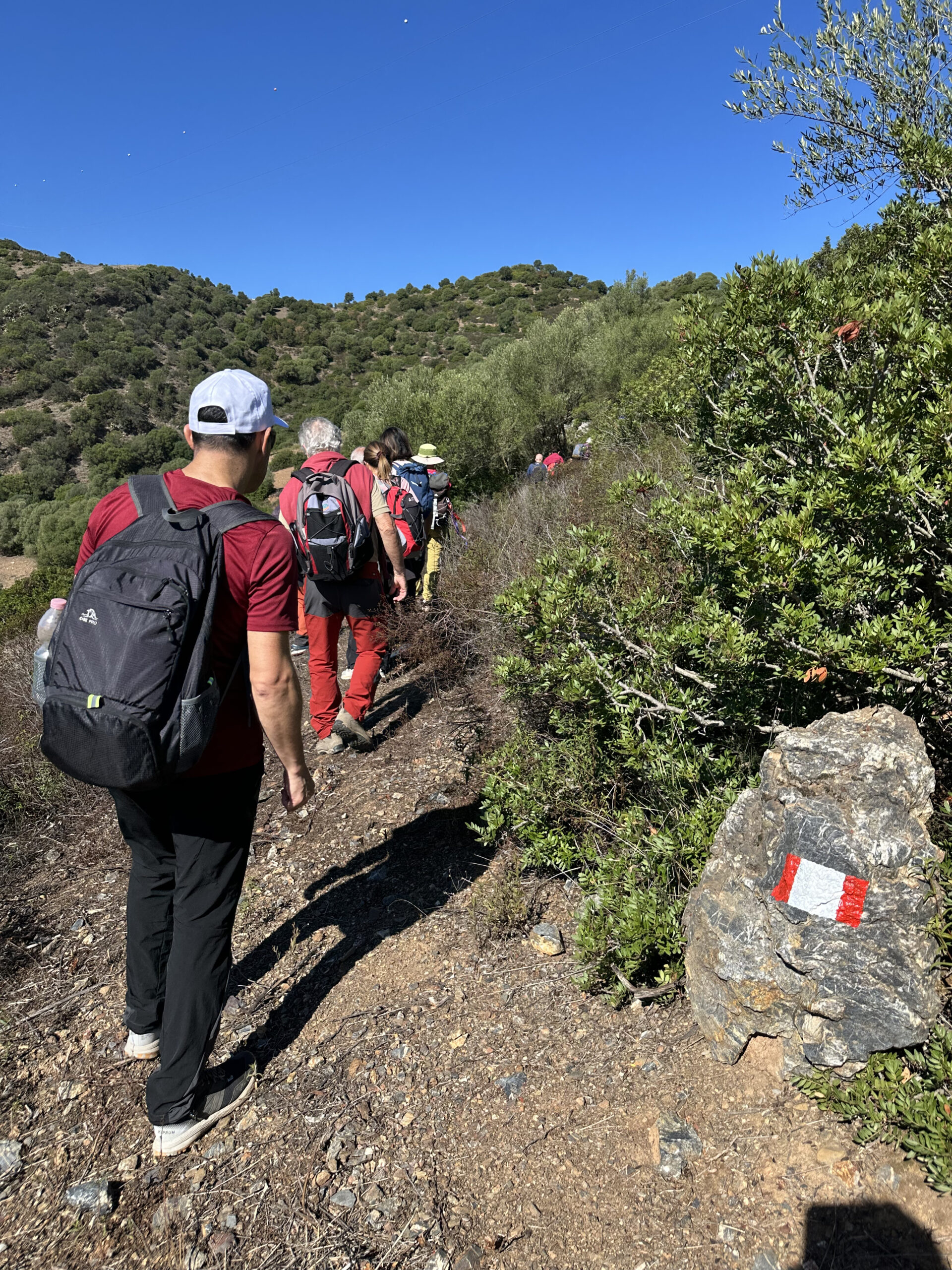
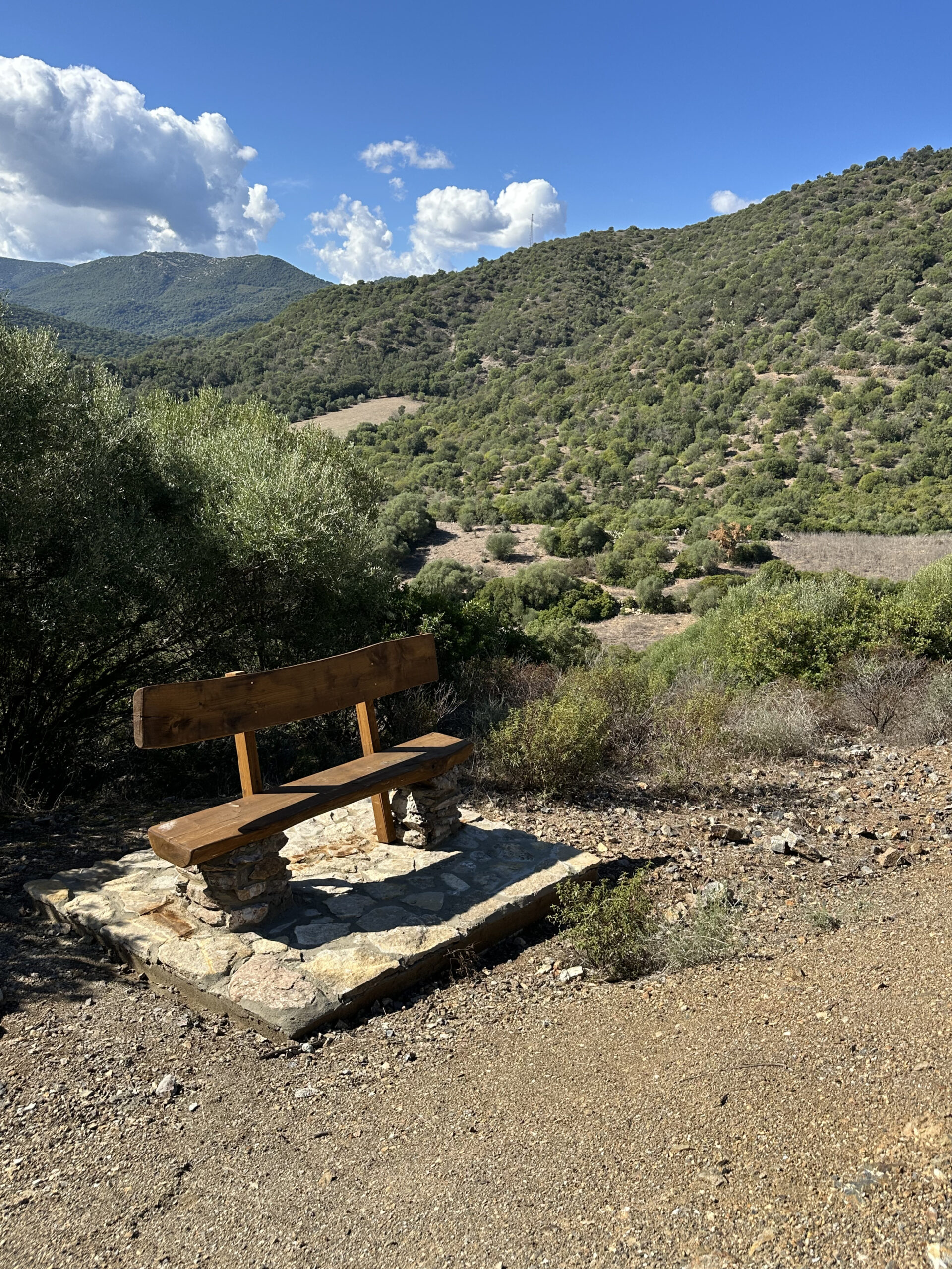
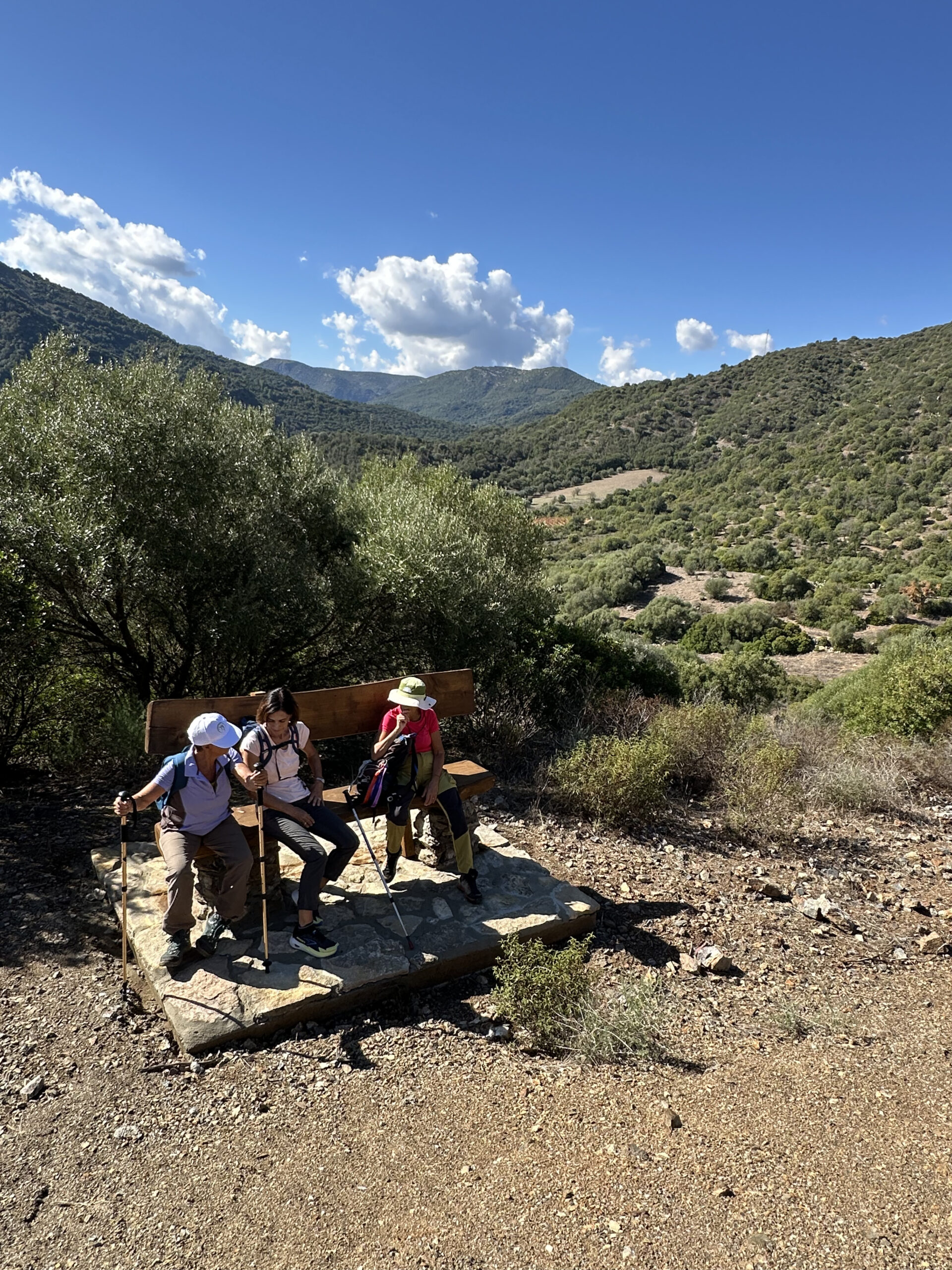
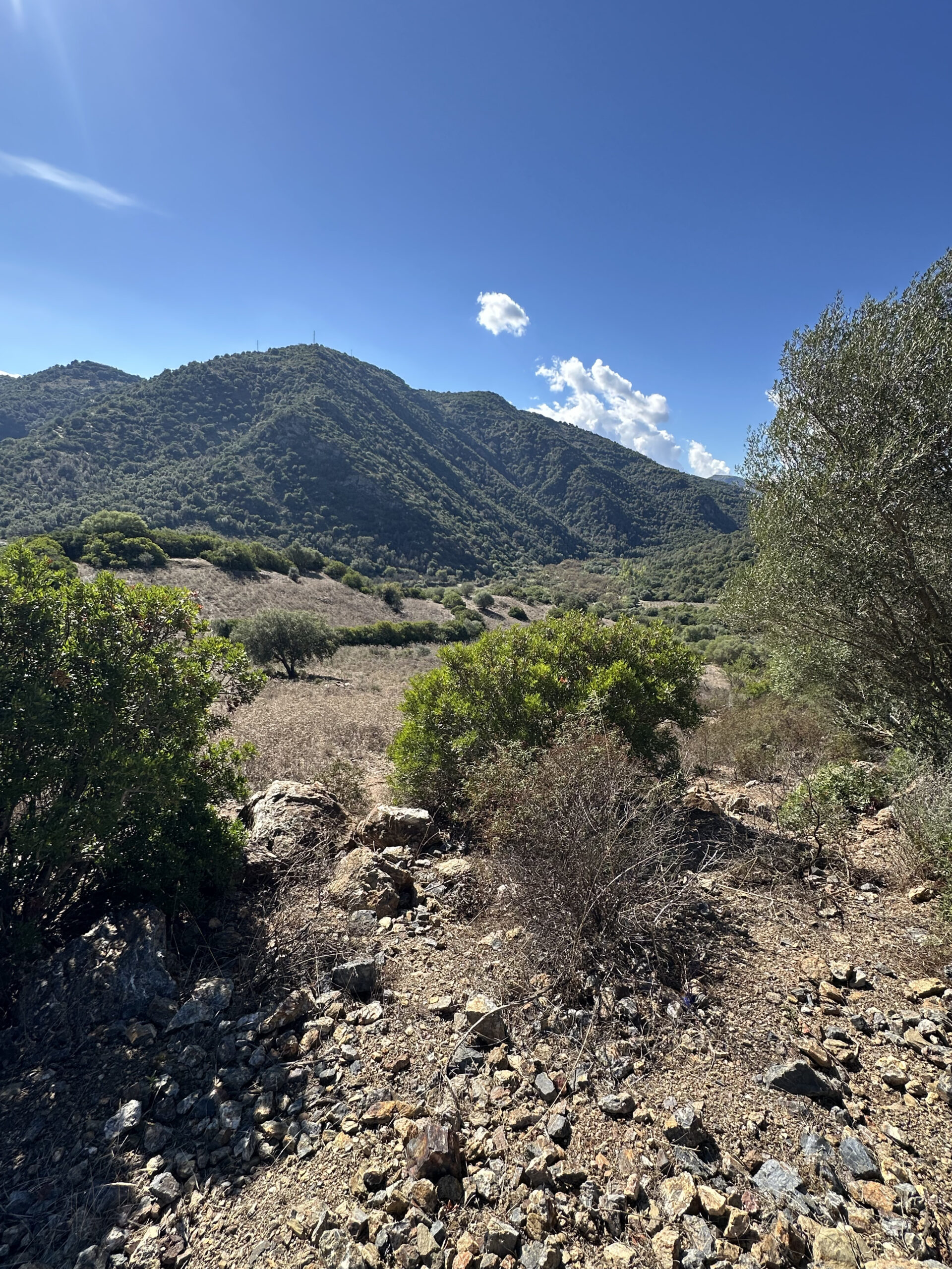
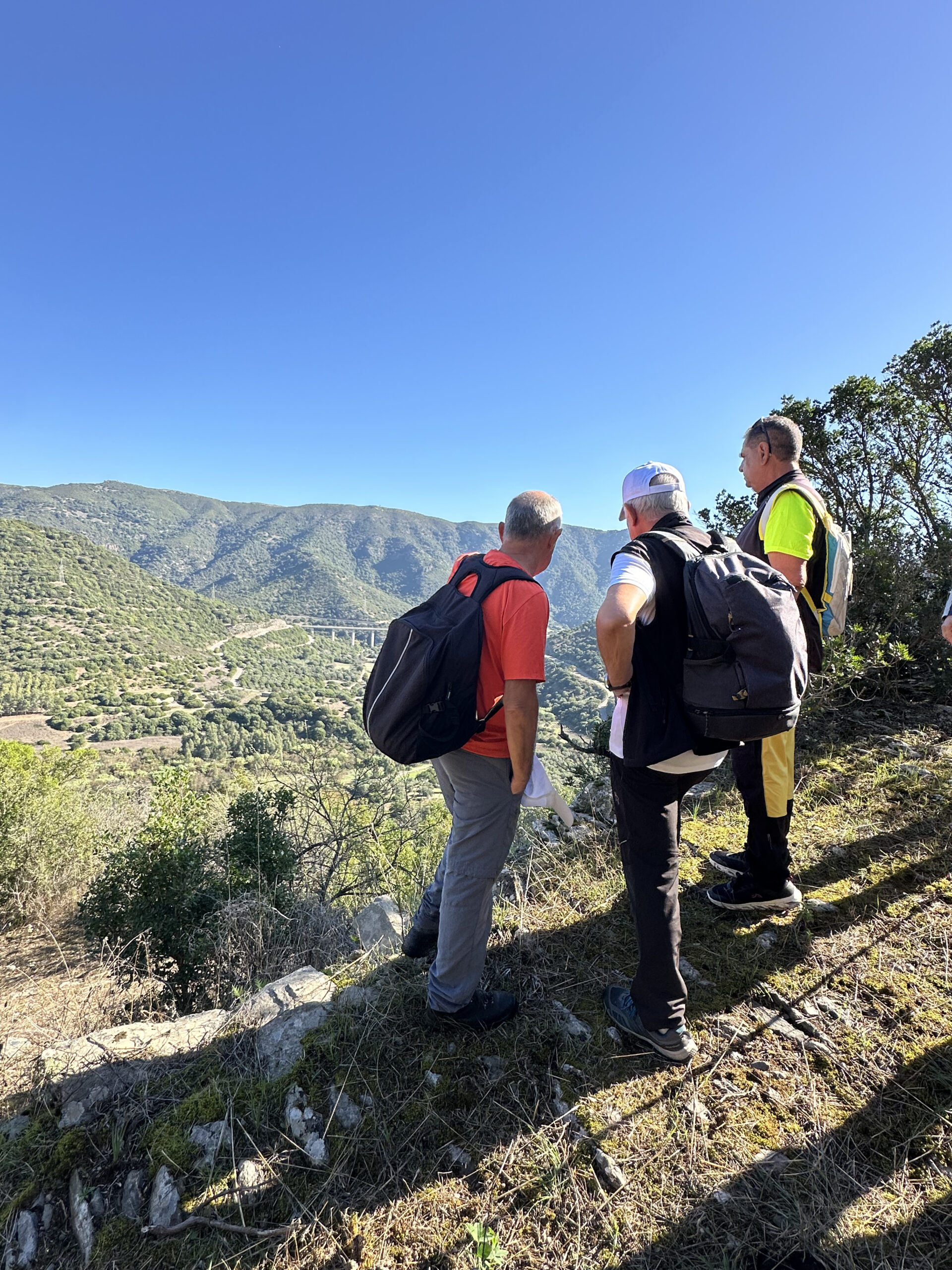
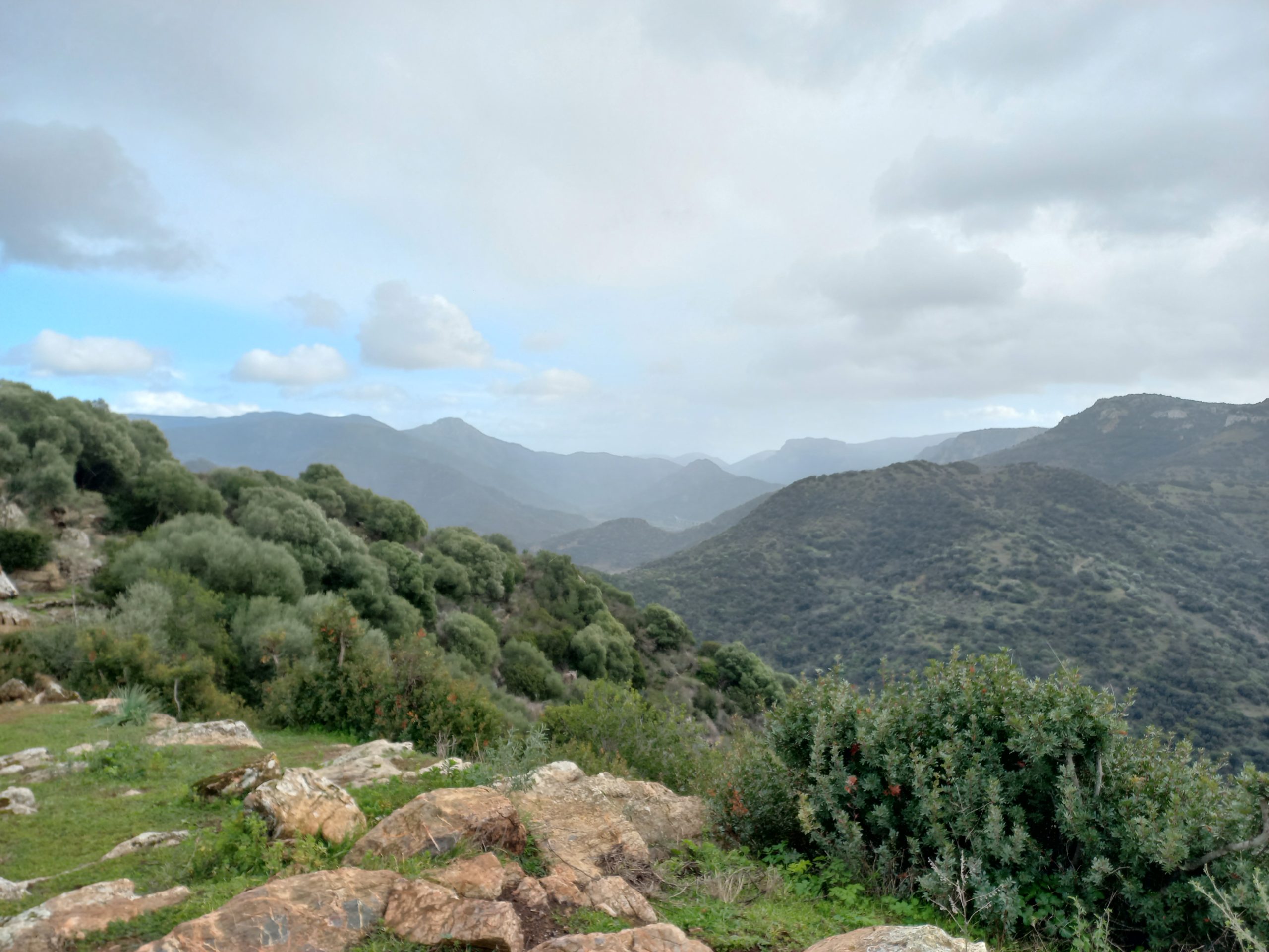
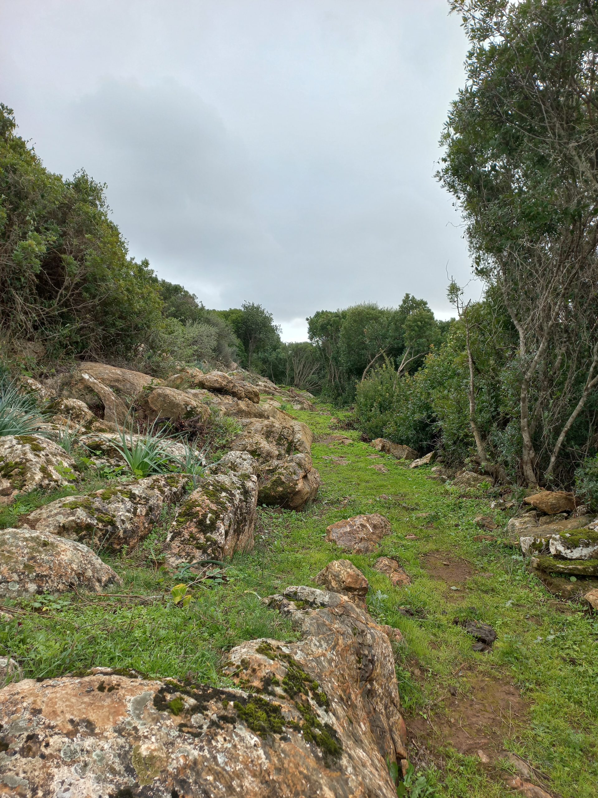
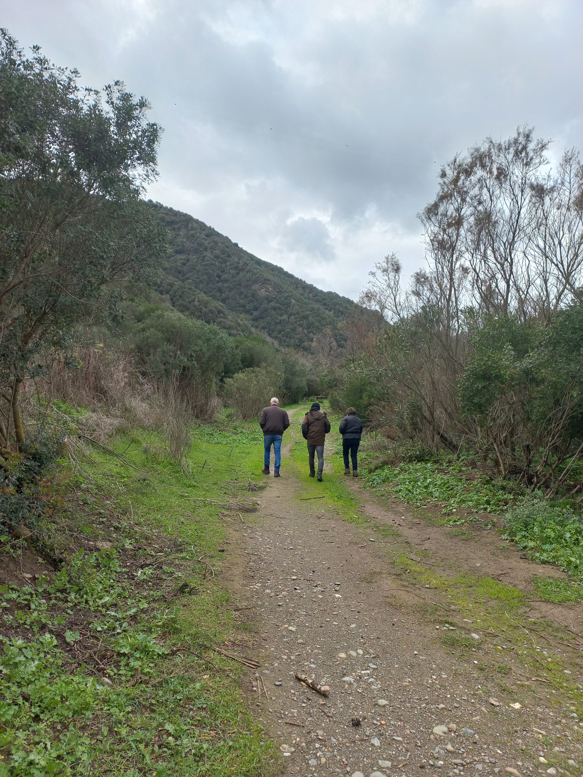
In Gerrei, a land of ancient hills, waterways and landscapes shaped by human labour, the PAT Network – Paesaggi d’Acqua e Terra (Landscapes of Water and Earth) – is taking shape: a system of trails that restores continuity to historic routes, rural roads and paths of memory. These are not new paths, but existing roads, travelled for centuries by shepherds, farmers, charcoal burners and miners, now made accessible again for slow, conscious and respectful enjoyment of the territory. The PAT Network, which covers a total of approximately 28 kilometres, was created to enhance the environmental and historical-cultural identity of the Gerrei area, connecting natural landscapes, archaeological sites, mining heritage and places of worship in a constant dialogue between man and the environment. The project improves the accessibility and safety of the routes without altering the balance of the landscape, through minor interventions such as signage, rest areas, observation points and recognisable trails. Within this network, some itineraries take on a particular symbolic value, becoming veritable gateways to the territory.
Trail no. 410 Armungia – Ballao
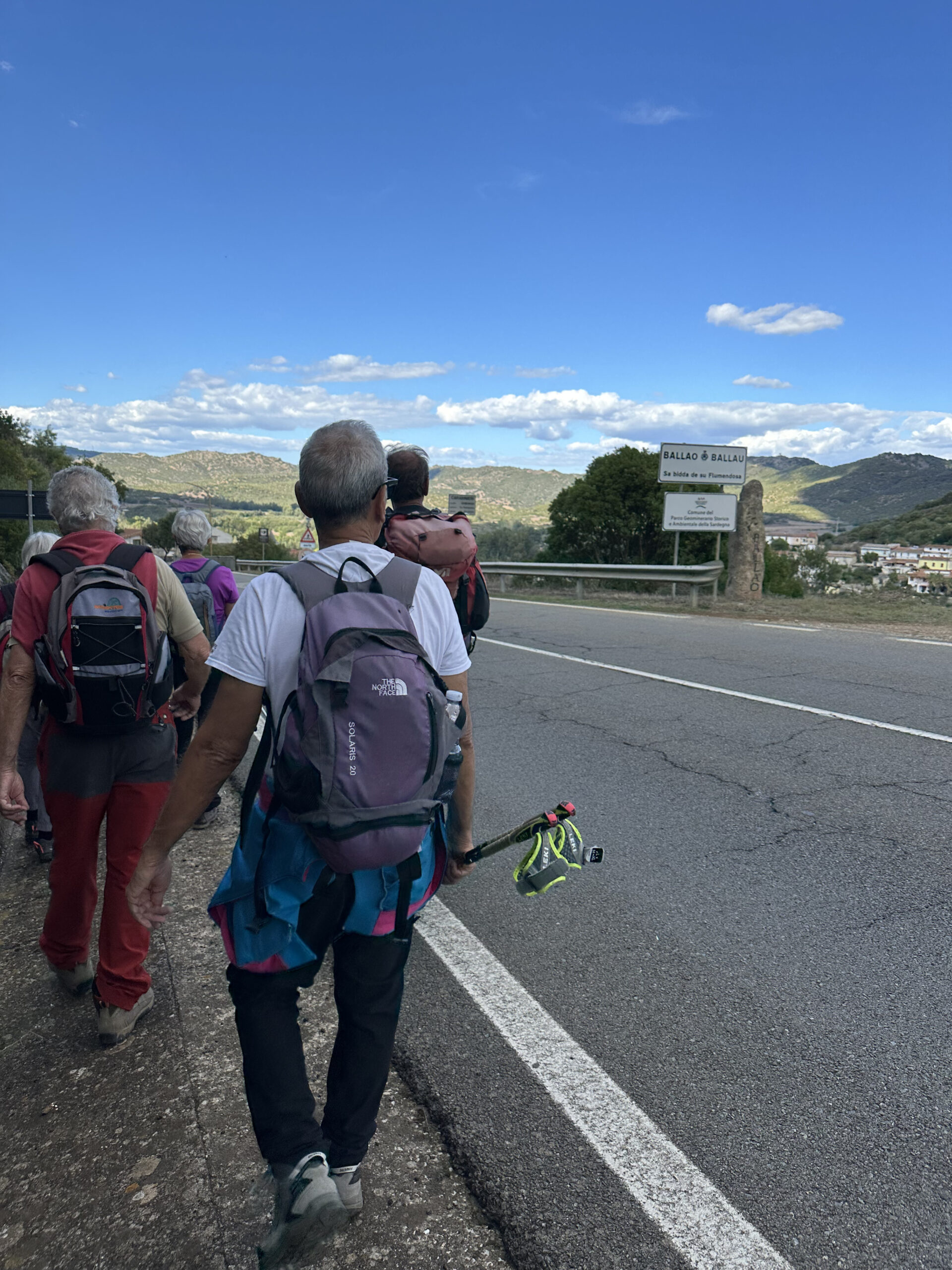
A route of about 4 km connecting the two villages of Gerrei, following an ancient mining trail used by workers heading to the Corti Rosas mine.
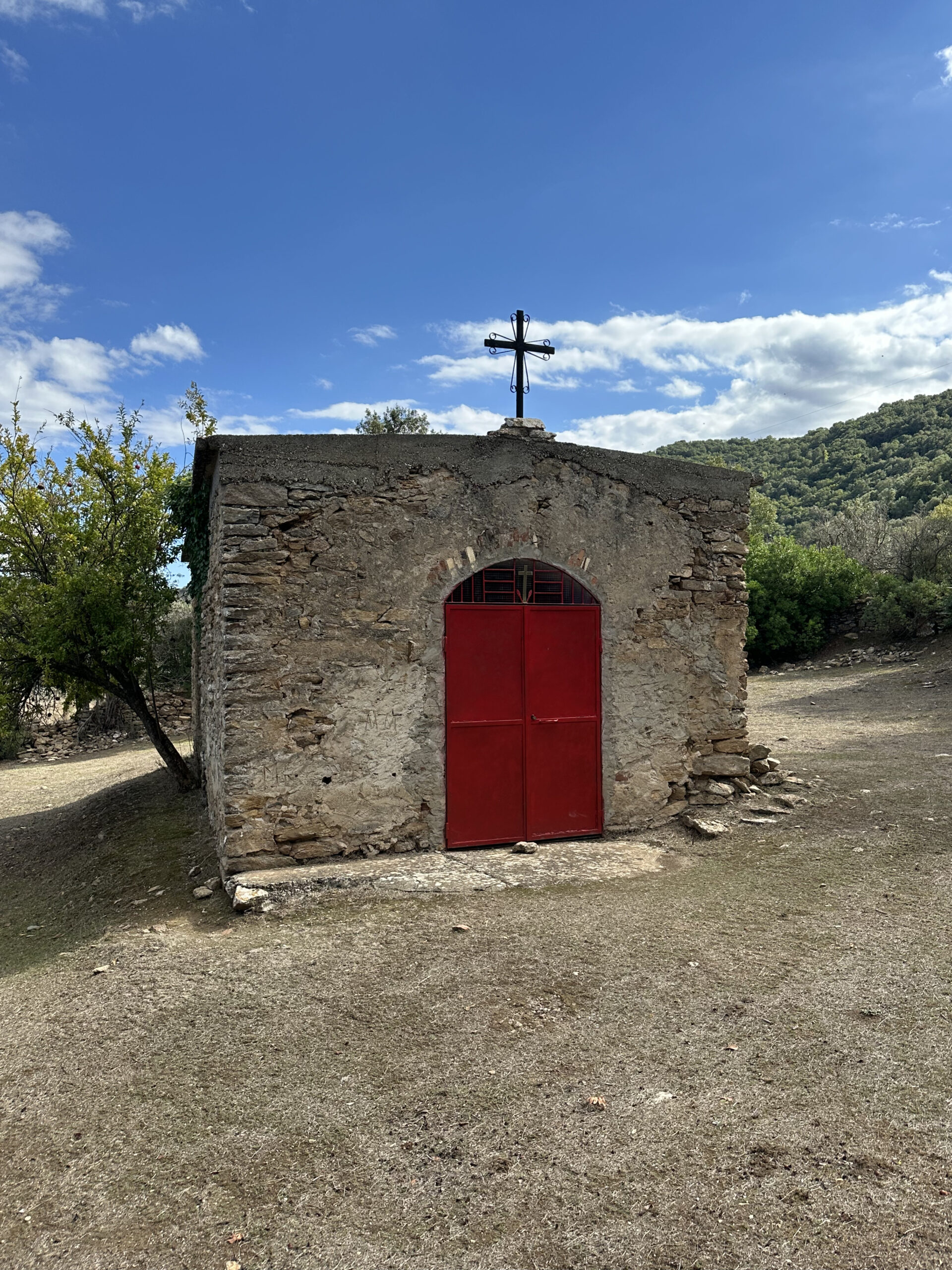
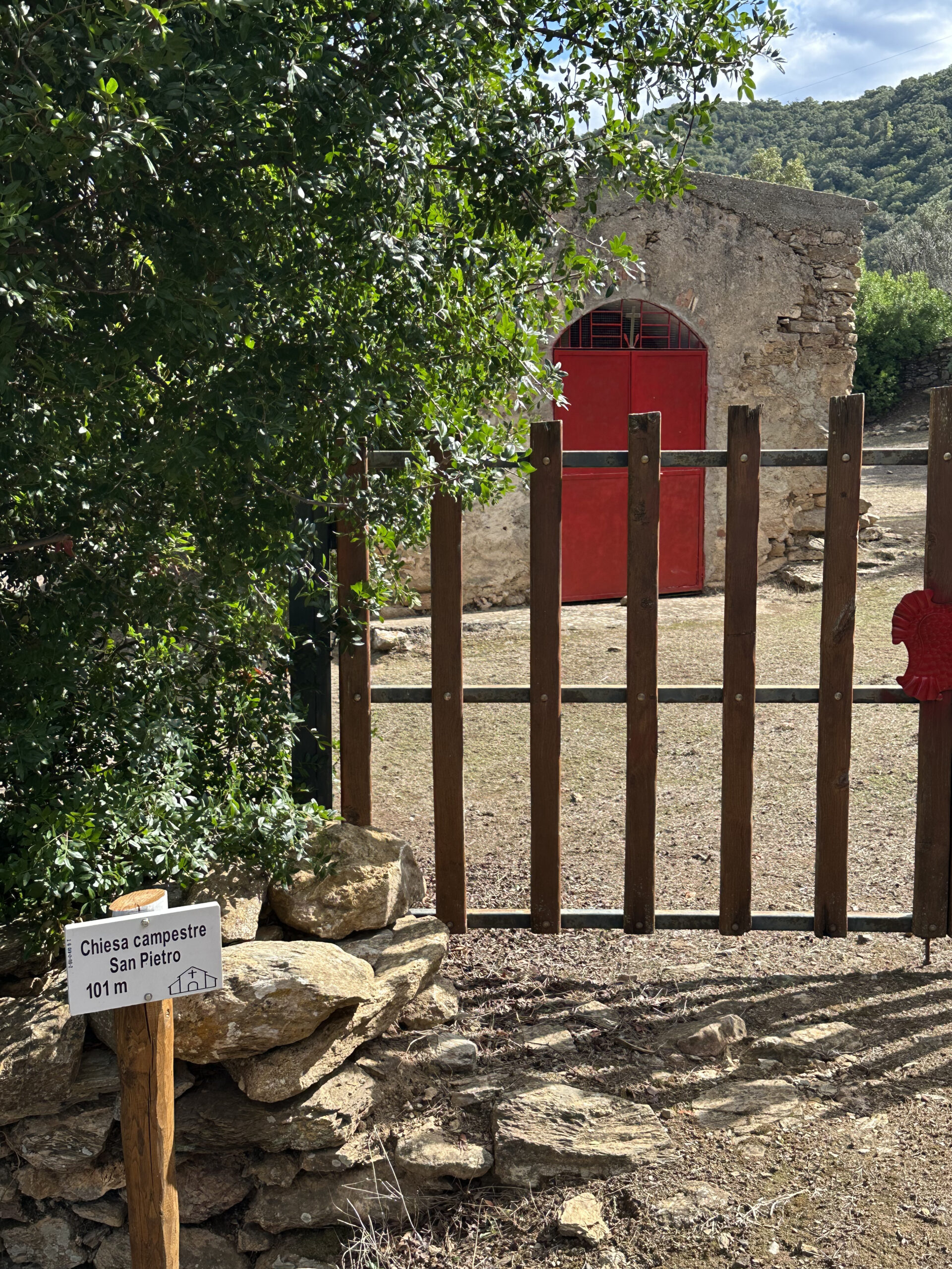
It starts from the historic centre of Armungia, crosses the Riu Spigulu valley between dry stone walls, old pavements and drinking troughs, and climbs up to the country church of San Pietro Apostolo, ending near the SS 387, close to Ballao.
The route tells the rural and mining history of the area. Nearby are the mining village of Corti Rosas, an important site linked to antimony mining, which was active until the 1970s, and the archaeological area of Funtana Coperta with a sacred well.
The trail also connects to Trail No. 211 Ballao (6.3 km), part of the Sentiero Italia trail network, expanding the possibilities for hiking in the Gerrei area.
The trails of Escalaplano
Between archaeology, water and open views
The PAT network also extends into the territory of Escalaplano, where a dense network of 17.5 km of trails accompanies walkers through some of the most evocative landscapes of the Gerrei. Here, the trails wind through plateaus, river valleys and archaeological sites, offering different but deeply connected experiences.
Among the main itineraries:
- Trail no. 213 – Is Arrantas – Sa Trona, along the CAI Sentiero Italia trail, among prehistoric caves, hills and sweeping views of the Pranu ‘e Testus plateau.
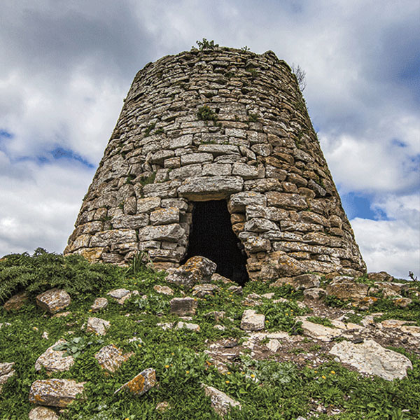
- Fossada – San Giovanni, a walk immersed in a veritable archaeological park, among domus de janas, nuraghi and historic churches.
Trail no. 562 Cracuris Circonvallazione Escalaplano – S’Arcu Atzinnuri. - Trail no. 621 – S’Arcu Atzinnuri – Genn’e Pira, which leads to the 18th-century church of San Salvatore along a highly evocative route.
- Trail no. 561 Escalaplano – Cracuris, Circonvallazione.
- S’erriu Su Martuzzu – Genna ‘e Pira, immersed in Mediterranean scrub, a natural link between Escalaplano and the archaeological site of Funtana Coberta, in the territory of Ballao.
These trails help to strengthen the network of local and supra-local connections, promoting integration with regional hiking routes and enhancing the tourist attractions of the area.
An invitation to walk
The PAT Network is not just a collection of hiking trails, but a map of relationships: between villages, stories and landscapes. Walking along these paths means slowing down, observing, listening to the land and recognising the value of places that have sustained the lives of local communities for centuries.
The PAT Network – Paesaggi d’Acqua e Terra (Landscapes of Water and Earth) is a strategic tool for promoting sustainable and responsible tourism, combining landscape protection, cultural heritage enhancement and local development.
By connecting existing trails, the project contributes to strengthening the territorial identity of Gerrei and creating new opportunities for tourism, in line with regional policies on hiking and rural development.
An invitation to discover Gerrei step by step, guided by the ancient rhythm of the land.
Tips for visitors
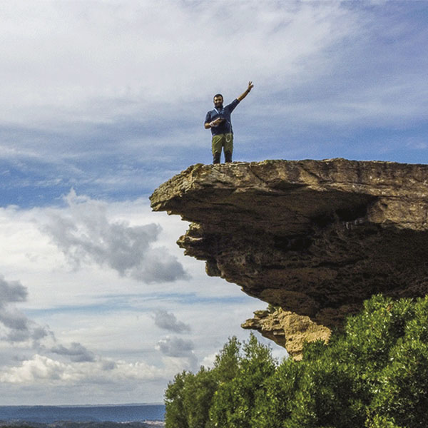
It is advisable to wear hiking boots and bring an adequate supply of water, especially during the hottest periods. In case of recent rainfall, pay attention to the sections near watercourses, particularly the Riu Spigulu ford, which may be difficult to cross. It is recommended that you respect the signage, the natural environment and private property, avoiding straying from the marked trails. Along the routes there are panoramic viewpoints and rest areas suitable for short breaks and observing the landscape.
For those who wish to devote some time to cultural enrichment, we recommend visits to:
- Centro Do.Sa. in Ballao – Flumendosa Water Documentation and Study Centre
Via Chiesa, corner of Via Flumendosa 09040, Ballao
Email: centrodosa@comune.ballao.ca.it
Mobile: 3442776429
- Armungia Museum System
Piazza Municipio, 09040 Armungia SU, Italy, Armungia, Italy
Email: sistemamuseale@comune.armungia.ca.it
Telephone: +39 070 958 9011