SGT
Dosa Flumendosa Centre
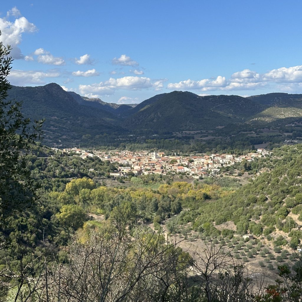
The Flumendosa River rises in the Gennargentu and flows 122 km through diverse environments and evocative landscapes before flowing into the Tyrrhenian Sea. In the stretch that passes through Ballao, the river has always been a vital resource; navigable for much of the year, it has been at the heart of a “river culture” still recognisable in the area.
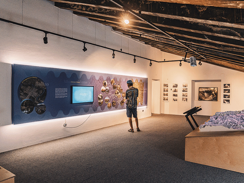
The Do.Sa. Centre – Documentation and Study Centre on the Flumendosa Waters – was created to collect, interpret, and transmit tangible and intangible evidence related to the river and the communities that inhabit its banks, with a particular focus on Ballao. It is located in a late nineteenth-century courtyard house and is the first space entirely dedicated to the most important river in Sardinia (in terms of average flow rate). The Centre is divided into five thematic sections and offers a multimedia installation with dioramas, immersive video projections, interactive panels, and a 3D virtual aquarium. The trail invites visitors to discover the river ecosystem and understand its complexity, combining the story of nature with that of human activity through historical objects, video testimonies, and interactive stations. Guided tours, workshops, and experiential itineraries complete the offering. The Dosa Centre is also driving a participatory project for the creation of the Flumendosa Regional River Park, which involves the municipalities in the downstream basin.
Funtana Coberta
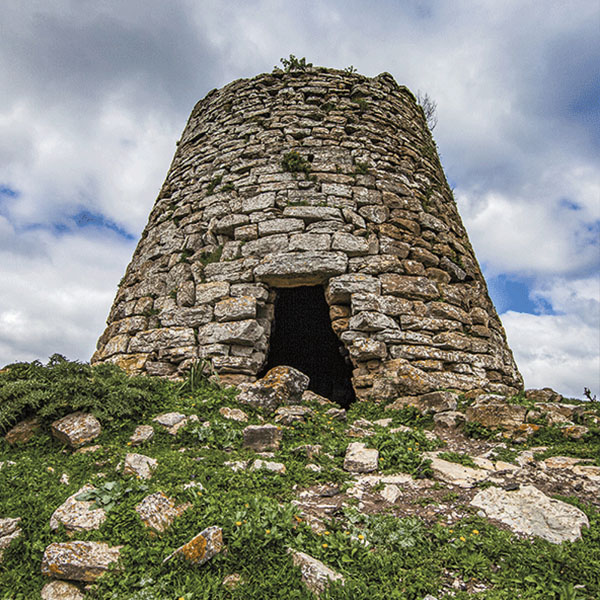
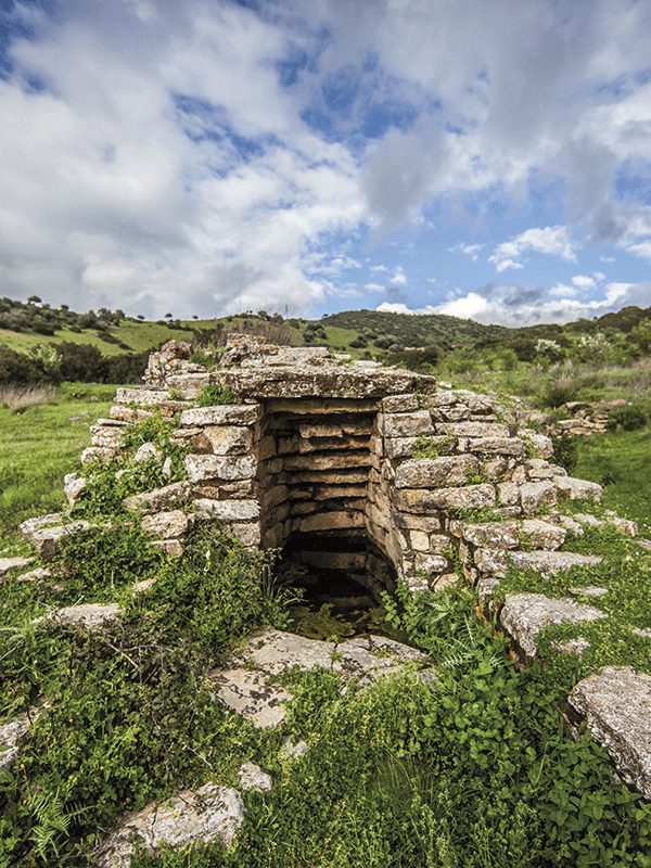
Just three kilometres from Ballao, in the heart of Gerrei, stands one of the most fascinating Nuragic monuments on the island: the sacred well of Funtana Coberta. Included in the UNESCO Tentative List, it is one of the best-preserved examples of a well temple, linked to the cult of water, which was widespread in the Nuragic period.
The monument, dating back to the Recent Bronze Age (1350-1150 BC), was already frequented in the Middle Bronze Age. From the outside it looks like a large circular hut, but the most surprising part is underground: a room covered with a tholos, that is, with a false dome built with projecting stones. It is accessed via a 12-step staircase covered by a stepped roof, which leads to a circular room where there is a well dug into the rock, over five metres deep, from which clear water still flows today.
A village developed around the well with huts, ceremonial spaces and perhaps areas to welcome pilgrims, similar to medieval muristenes. The excavations have yielded objects of great value: small bronzes, votive weapons, ingots and a jar containing metal to be melted, evidence of ritual offerings. After the end of the Late Bronze Age, the site was abandoned for centuries, until it was frequented again between the 3rd and 1st centuries BC, as demonstrated by the discovery of Roman amphorae above the Nuragic levels. Discovered in 1918 by Antonio Taramelli, Funtana Coberta has been the subject of sporadic archaeological investigations.
Corti Rosas Mining Village
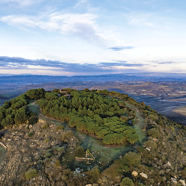
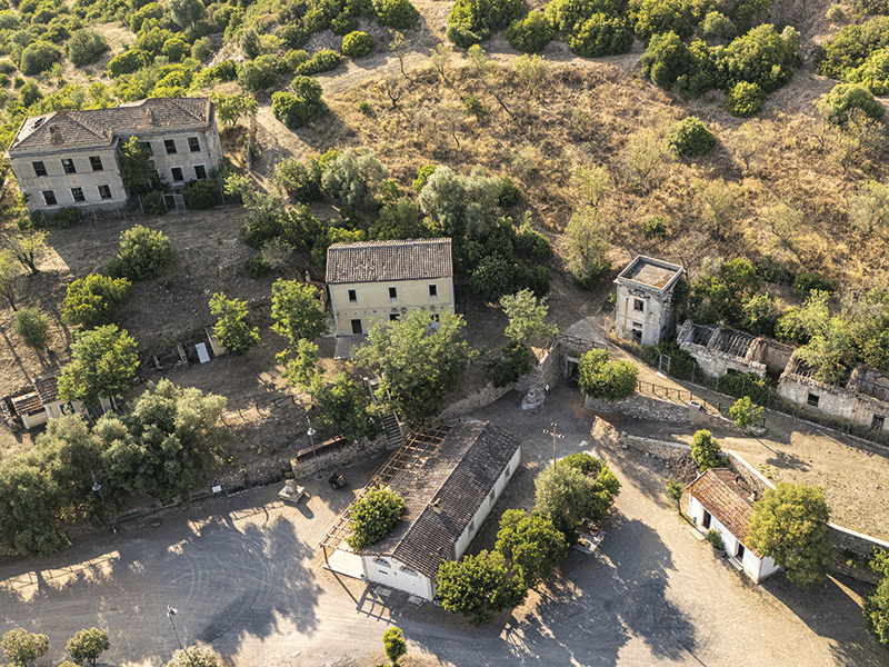
A short distance from the village, in a panoramic position, is the former antimony mine of Corti Rosas, with its workers’ village. Mining began in 1897 thanks to English concessionaires and, after various managements, the turning point came in the 1930s, with the transfer to AMMI (Azienda Mineraria Minerali Italiani), which integrated the site with the nearby Su Suergiu mine, in Villasalto. During the fascist regime, antimony became a strategic resource. A flotation plant was built, production facilities were strengthened, and a village with guesthouses, offices, a bakery, and a power plant was built. The post-war period marked the beginning of the crisis: the end of protectionist policies and foreign competition made the business no longer sustainable. After a brief revival, the mine closed permanently in the 1970s. Today Corti Rosas is a precious testimony to industrial archaeology and is part of the Geomineral Historical and Environmental Park of Sardinia recognised by UNESCO. Among the ruins the washery, the flotation plant, the electric generator and the buildings of the mining village are still visible.