SGT
Sassai castle
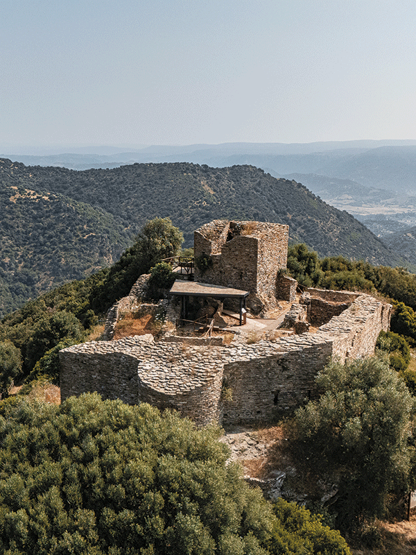
Among the hills of Gerrei are the fascinating ruins of Sassai Castle, also known as Castello Proguglioso. Built between the end of the 12th and the mid-13th century, together with the Quirra castle it marked the fortified eastern border between the Kingdom of Cagliari and those of Arborea and Gallura. The first official mention dates back to 1265, when the King of Arborea ceded it to Pisa as a guarantee in a peace treaty. It later passed under Aragonese control, becoming a military garrison. During the Sardinian revolt against the Aragonese, in 1353 the castle was besieged by the troops of Mariano IV of Arborea: the castellan Ferdinando de Arbe died and, by order of the king, the fortress was destroyed and never rebuilt. Excavations begun in 1995 brought to light a well-preserved structure, hidden by vegetation for centuries. The Castle, a typical fortified medieval settlement, adapts to the profile of the hill: you can recognise the keep, vaulted rooms, thick walls and an internal courtyard with a small kitchen equipped with an oven. On the walls, drawings depict two soldiers and a mysterious coat of arms. The excavations have identified two phases of use: a more residential one and a military one. Among the finds were ceramics, coins, tools, personal objects, a bone flute and dice. In one area of the fortress, the skeleton of a soldier was also found, perhaps that of Ferdinand de Arbe himself. Today, the castle can be reached via a pleasant walk through the woods and is an unmissable stop for anyone wishing to discover Sardinia’s medieval history in a picturesque natural setting.
Is Nais Geological site
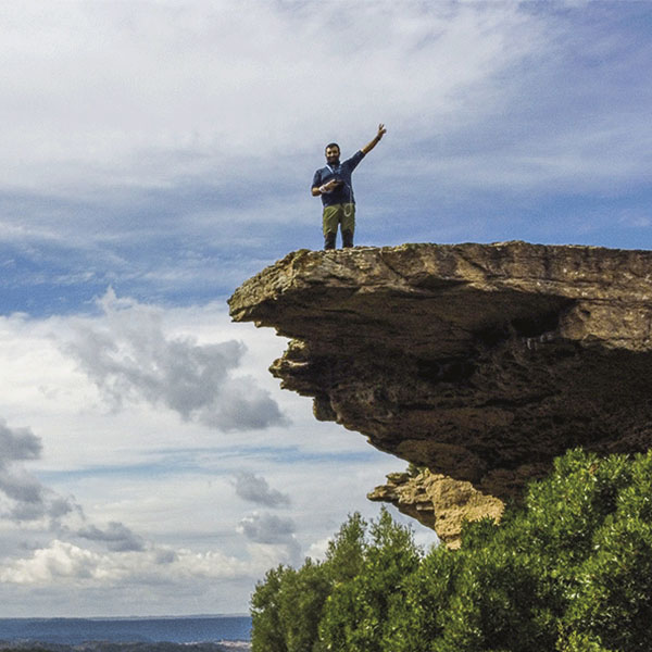
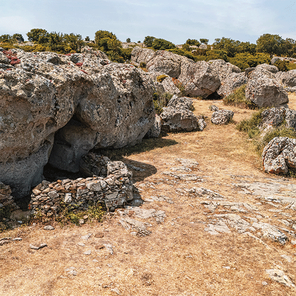
Just before reaching Silius, along the SP25, you’ll encounter one of Sardinia’s most striking landscapes: the Is Nais geological site, a place where nature tells its geological story and becomes a scenic and cultural attraction. The rocks of Is Nais date back to the lower Eocene, around 50 million years ago, when marine sediments were deposited in this area. Over the millennia, the uplift of the Earth’s crust and erosion have shaped a unique landscape: wind and water have fashioned spectacular forms such as the “Nuragic shuttle,” a large boulder balanced on blocks of sandstone, which seems to defy the force of gravity. It is so called because it recalls the votive vessels of Nuragic Sardinia, and this similarity gives the site its name, nais, meaning “ships” in Sardinian; the plural suggests that similar tall rocks already existed in the past. The site also preserves archaeological traces: an ancient shelter, perhaps a hut later reused as an animal shelter, and the remains of a megalithic wall, signs of habitation as far back as the Nuragic age.
Source of Is Alinos or Alineddus
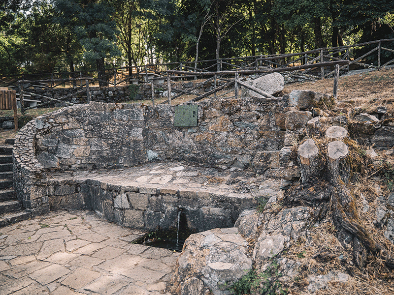
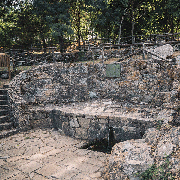
Immersed in the tranquility of the Gerrei hills, the Fonte di Is Alinos is located a few kilometres from Silius. Also known as Is Alineddus – “the alders” in Sardinian – it owes its name to the trees that grow lushly around the spring. The clear water flows perpetually from the heart of the mountain, at almost 800 metres above sea level, making it one of the most renowned springs in the area. The spring is nestled in a context of great environmental value, at the foot of Mount Ixi, the highest peak in the municipality, on the border between Silius and San Nicolò Gerrei. From here a breathtaking view opens up. Is Alinos Park is designed to offer an experience suitable for everyone: families, groups, hikers, or simply lovers of outdoor relaxation. With picnic tables, benches shaded by trees, a small playground, and large green clearings, it’s the ideal place for a day with friends, a rejuvenating stroll, or a stop along a tourist trail. Is Alinos represents a perfect balance between natural environment and human intervention: here, the water, the trees, and the silence tell the story and riches of an entire territory.